CTP Risk MAP Lower SAR Watershed FY22

CTP Risk MAP Lower SAR Watershed FY22

The project focuses on flood data, including flood risk identification and assessment activities within the Lower San Antonio watershed. These activities include floodplain mapping, report generation, and producing a database of streams studied under FEMA’s Mapping Activity Statement No. 25. The objective is to develop and support flood hazard data and program-related tasks through completing technical risk analysis and mapping activities within the watersheds. Tools developed will provide communities with flood information they can use to make informed decisions about reducing flood risk.

Project Details:

Share:

Facebook
Twitter
LinkedIn
Email

Related Projects

This project will assess the long-term space needs of the River Authority and evaluate various options regarding new building designs for the property located at…
This project will begin design and construction on Mann’s Crossing Park on the Medina River, Hendrick Arnold Park (Straus medina), Trueheart Ranch, and Espada Park.…
The San Antonio River Authority is collaborating with the US Army Corps of Engineers to restore portions of the Westside Creeks, including portions of San…

Alerts

Gate 5 Trail Closure

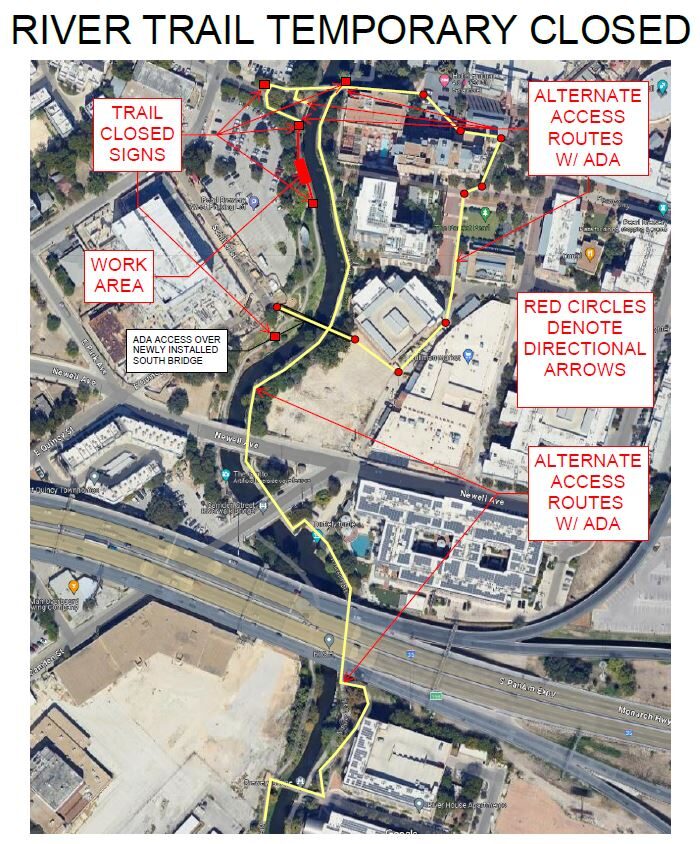
The City of San Antonio Department of Public Works is in the process of completing updates on the Nueva St. Dam. Due to crane activity, the east sidewalk of the River Walk Trail from Villita St past E. Nueva St. and the bridge over the dam located just south of Nueva St. will be closed today July 15, 2024, between 7 AM and 4 PM. There is a marked detour route for pedestrians. We apologize for any inconvenience.

Temporary Water Shutdown

Water will be temporarily shut off to the Restrooms and Splash Pad due to maintenance. Thank you for your understanding.

Acequia Trail Notice

The Acequia trail will have heavy traffic near MROC starting May 22nd until further notice. The SAWS Acequia project will be bringing in crews to work on the lift station site and across the street. There will have flaggers to stop traffic, please use caution. 

SASPAMCO Paddling Trail

The SASPAMCO paddling trail is open from River Crossing Park to Helton Nature Park.
*Please Note: Paddling Trail from Helton Nature Park to HWY 97 is still closed due to blockages. 

River Reach Newsletter and Blog Signup

River Reach is offered as a printed, physical mailing to your residence or business. The Blog is a weekly electronic email with news and updates in order to be more environmentally conscious. Please fill out the form below and indicate your preferred method of delivery.

By submitting this form, you are consenting to receive marketing materials from: San Antonio River Authority, 100 East Guenther St., San Antonio, TX, 78204, US. You can revoke your consent to receive emails at any time by using the SafeUnsubscribe® link, found at the bottom of every email. Emails are serviced by Constant Contact. This site is protected by reCAPTCHA and the Google Privacy Policy and Terms of Service apply.