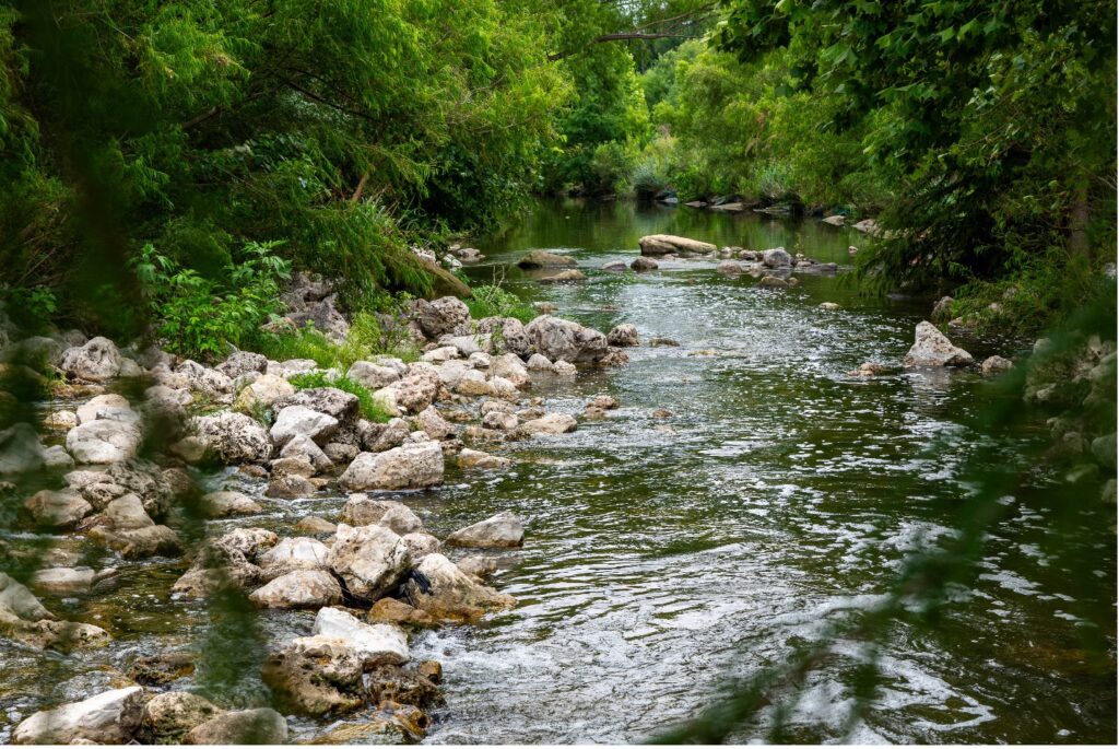
¡Hola lectores del blog! La Autoridad del Río San Antonio (Autoridad del Río) se ha dedicado durante mucho tiempo a preservar y proteger la salud del Río San Antonio y toda la cuenca hidrográfica de 4180 millas cuadradas. Sin embargo, cuando se trata de garantizar un impacto ecológico sólido en todo el estado, ¡debemos trabajar junto con nuestras autoridades fluviales colegas! Así como una familia se ocupa de las tareas del hogar juntas, las autoridades fluviales de todo Texas a menudo dividen y conquistan diferentes aspectos de nuestras "tareas" para lograr objetivos. Algunas de las excelentes autoridades asociadas con las que trabajamos son la Autoridad del Río Guadalupe-Blanco (GBRA), la Autoridad del Río Nueces (NRA) y la Autoridad del Río y Distrito de Aguas Subterráneas del Condado de Bandera (BCRAGD). Estas asociaciones permiten compartir recursos, monitorear la calidad del agua de manera cooperativa y ayudar con la conservación del hábitat en todo este hogar ecológico que llamamos Texas. ¡Juntos somos mejores!
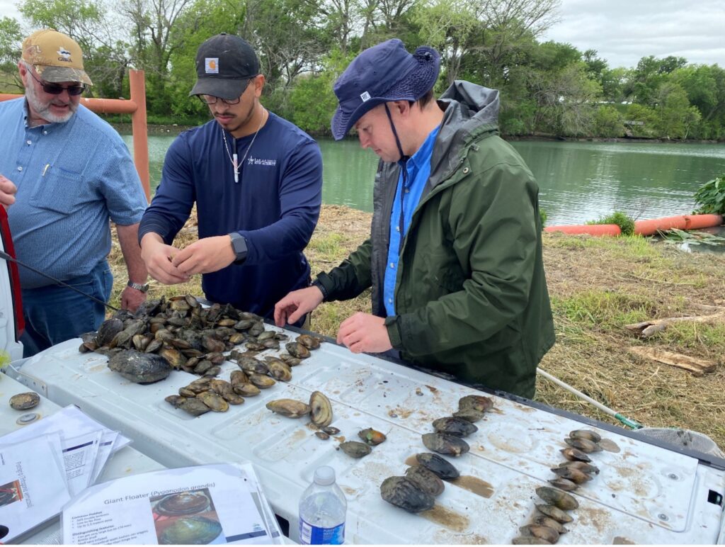
La Autoridad del Río San Antonio y el personal de GBRA trabajaron juntos en un esfuerzo de reubicación de mejillones en 2023 en el río Guadalupe.
Intercambio de recursos
Tener una sólida funcionamiento del laboratorio es fundamental para analizar los parámetros de calidad del agua en todo un río. El laboratorio ambiental regional de la Autoridad del Río contiene equipos y personal diseñados específicamente para esto y nos hace excelentes para levantar la pesada carga del análisis de la calidad del agua. Debido a esto, estamos bien preparados para ayudar a nuestras autoridades fluviales asociadas al realizar algunas pruebas analíticas para sus muestras. Nuestros socios salen y recogen diferentes muestras de varias cuencas hidrográficas y las llevan rápidamente a la Autoridad del Río para su análisis. Algunas de las pruebas presentadas incluyen la medición E. coli. niveles en el lago de la ciudad de Boerne para BCRAGD y contenido total de sólidos disueltos para los sitios en la jurisdicción de la NRA. Además, la Autoridad del Río también sirve como una instalación de respaldo para el laboratorio de GBRA en caso de que surjan problemas con el equipo o necesiten tomarse un tiempo fuera del análisis. A su vez, nuestros socios también nos ayudan tomando muestras en la cuenca del río San Antonio, pero a distancias más cercanas a su base de operaciones, ¡todos ganan con la colaboración!
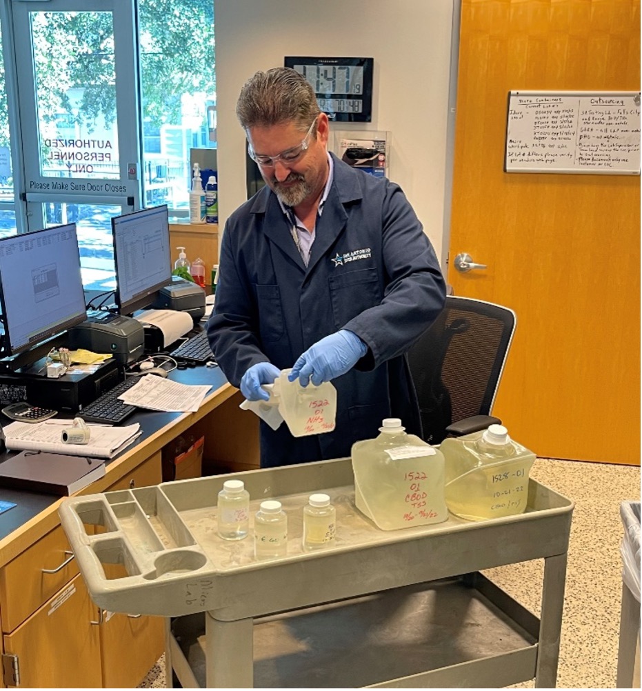
El coordinador de servicios de laboratorio, Justin Mills, registra las muestras recibidas por el laboratorio.
Monitoreo de la calidad del agua y conservación del hábitat
Mantener un ecosistema saludable para los ríos de Texas implica una gran cantidad de hábitat y estudios biológicos donde las autoridades fluviales hermanas trabajan juntas para monitorear y evaluar las condiciones ambientales dentro de cada cuenca. Las observaciones de las evaluaciones de la calidad del agua y los estudios de la población de peces y la vegetación se recopilan dentro de cada cuenca fluvial y luego se comparten con la Comisión de Calidad Ambiental de Texas (TCEQ). Los datos de la Autoridad Fluvial, combinados con los datos de las otras autoridades fluviales, contribuyen al informe bienal de la TCEQ. Informe integrado sobre la calidad de las aguas superficiales, que ofrece una descripción general de las condiciones de la calidad del agua en todo el estado. Este informe es esencial para identificar áreas que necesitan mejoras, establecer estándares de calidad del agua y guiar los esfuerzos de restauración. Al compartir los hallazgos y estandarizar las observaciones, la Autoridad del Río y sus entidades hermanas brindan una base unificada y respaldada por la ciencia para mejorar y mantener la calidad del agua y los hábitats en todos los ríos de Texas.
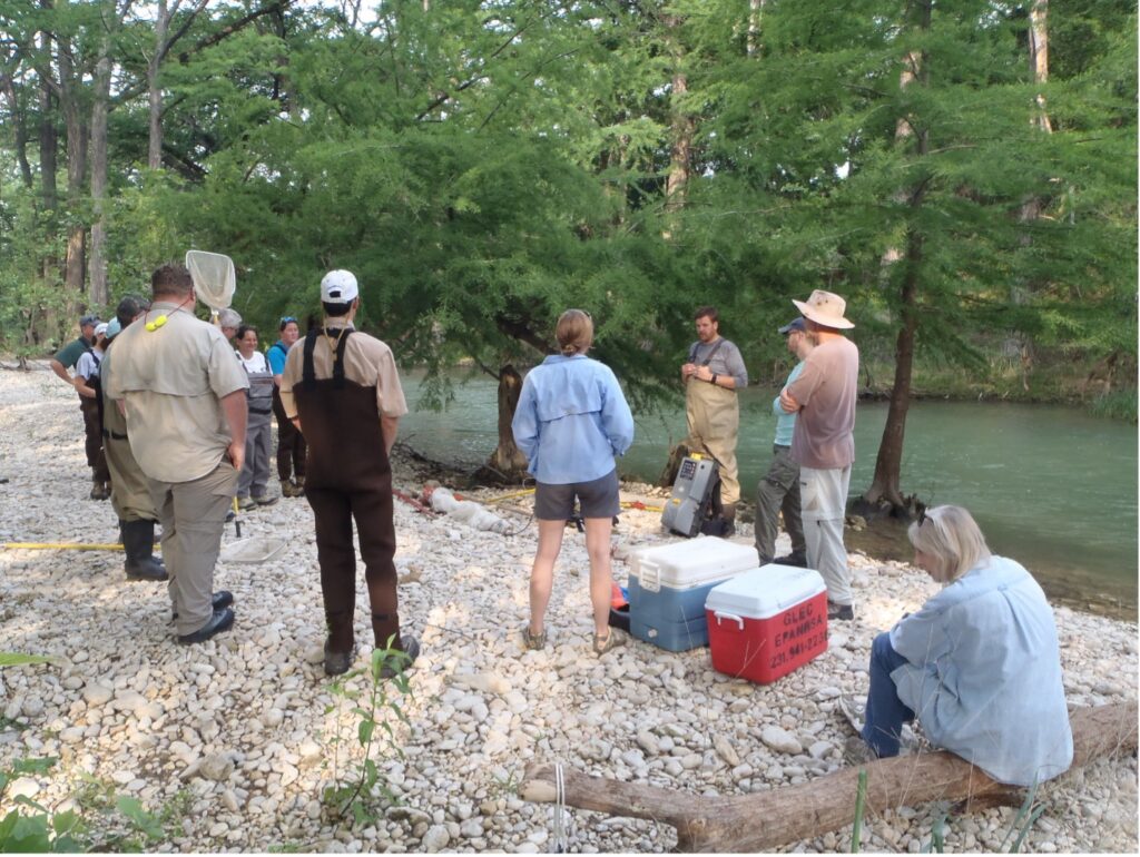
El personal de la Autoridad Fluvial dirigió partes de un taller estatal con otras autoridades fluviales de Texas en el río Medina en el condado de Bandera para aprender cómo realizar estudios de peces, hábitat e insectos acuáticos.
Más fuertes juntos
Las alianzas entre nosotros y las autoridades de nuestros ríos hermanos subrayan el compromiso con un futuro más saludable para los ríos de Texas. Al combinar recursos y alinearnos en torno a objetivos comunes, podemos monitorear, gestionar y proteger mejor los valiosos recursos hídricos de Texas. Trabajar juntos nos permite a todos abordar los desafíos de la gestión de los ríos de manera eficiente, lo que en última instancia beneficia tanto al medio ambiente como a las comunidades que dependen de estos ríos ahora y para las generaciones futuras.

