Como parte de nuestro compromiso con seguro, limpio, agradable arroyos y ríos, la Autoridad del Río San Antonio (Autoridad del Río) mantiene más de 45 millas de senderos para remar durante el Cuenca del río San Antonio. Ya sea que sea un principiante en el remo o tenga más experiencia en el agua, ¡hay muchas opciones de senderos para remar en el río San Antonio para elegir y vivir una aventura emocionante!
Siga leyendo mientras compartimos algunos consejos para remar, así como algunas recomendaciones para ayudarlo a planificar su excursión para remar en el río San Antonio.
Recuerde: comparta el sendero y el río. Respete a los demás usuarios. Espere otros usuarios.
Esenciales para remar
Los ríos son sistemas dinámicos en constante cambio con peligros inherentes, así que recuerde los siguientes consejos de seguridad:
- Estar preparado. Visite el sitio web de River Authority para obtener actualizaciones sobre los senderos para remar y también verifique el clima y el rio corre antes de remar para garantizar las condiciones adecuadas para remar.
- Revisa tu equipo y asegúrate de tener los accesorios necesarios.
- Use ropa adecuada y traiga mucha agua y protector solar.
- Evite remar solo e informe a alguien de sus planes para remar.
- Proceda bajo su propio riesgo. Planifique su viaje para que sus habilidades de remo sean iguales a las condiciones del agua.
Para obtener una lista completa de consejos de seguridad para caminar, andar en bicicleta y remar, haga clic en aquí. También puedes ayudar a prevenir la propagación de mejillones cebra enjuagando adecuadamente su equipo antes de ingresar al río.
Tenga en cuenta que, de acuerdo con las pautas de los CDC durante la pandemia de COVID-19, se recomienda encarecidamente el uso de mascarillas y el distanciamiento social mientras visita los parques de River Authority y mientras disfruta de los senderos para caminar y andar en bicicleta, incluso mientras transporta su equipo de remo entre el estacionamiento y el río. Una vez que esté en el agua en su kayak o canoa, usar una máscara es opcional, dado que normalmente se mantiene una distancia social adecuada de los demás mientras rema.
Recomendaciones de senderos para remar
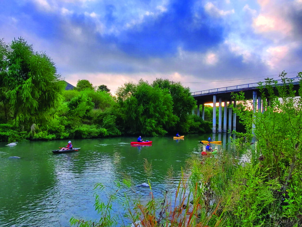
El Sendero para remar del Rey Guillermo y el Sendero para remar Mission Reach La sección en Davis Lake cerca de Espada Park es ideal para principiantes. Una vez que se sienta más cómodo, le recomendamos ampliar su viaje a lo largo del Mission Reach Paddling Trail con un viaje desde el punto de acceso en Roosevelt Park hacia el sur hasta Mission Espada. Puedes descargar el Mapa del Paseo del Río San Antonio para ver todos los puntos de acceso para remar.
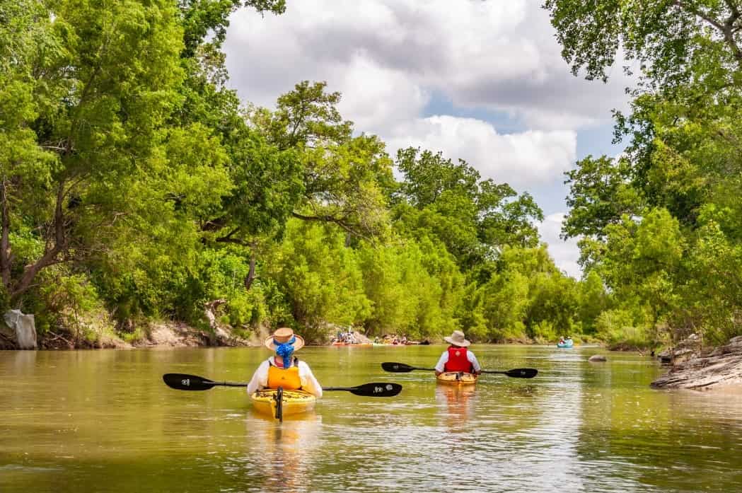
Para palistas más experimentados, recomendamos el Sendero de remo SASPAMCO que comienza en la Autoridad del Río Parque del cruce del río en el río San Antonio en el condado de Bexar. Hay puntos de acceso adicionales en Parque Graytown en el río San Antonio, en John William Helton - Parque Natural del Río San Antonio, County Road 117 y en Texas Highway 97 en Floresville River Park.
El Sendero para remar Goliad ¡También es una gran opción para experimentar el río San Antonio! El sendero comienza debajo de la autopista US 59 en el condado de Goliad con un punto de acceso adicional en Ferry Street cerca Parque Natural Sucursal y termina en el Parque Estatal Goliad. Aproveche los eventos de flotilla en primavera y otoño organizados por nuestro socio Sendero de canoas Goliad que están abiertos a palistas de todos los niveles.
Dada la creciente popularidad del kayak y la demanda de un mayor acceso al río San Antonio, actualmente se están desarrollando planes para expandir el sendero Goliad Paddling Trail en más de 25 millas y se están considerando otras secciones del río San Antonio y el río Medina para remar en el futuro. desarrollo de senderos.
Película sobre remar en el río San Antonio
¿Quieres saber cómo es remar por el río San Antonio? Mira nuestra película: De San Antonio a Seadrift – Remando por el río San Antonio. ¡Esperamos que esto te inspire a planificar tu propio viaje de remo y disfrutar de la belleza de este precioso recurso!