Crecí a orillas del arroyo Balcones, un pequeño afluente intermitente del arroyo Cibolo. Pude pasar incontables horas explorando el lecho seco del arroyo en verano y el arroyo que fluía después de las lluvias. De niño, solía estar al aire libre con mi familia, disfrutando de muchos ríos en toda la región montañosa de Texas, incluidos los ríos Lower Colorado, Guadalupe, Medina y Frio. Mis recuerdos más entrañables provienen del río Nueces, donde mi familia hacía viajes de campamento todos los años al "lugar secreto", una joya escondida a la que no podría regresar ni aunque lo intentara. Estos viajes fueron formativos y establecieron mi amor por nuestros entornos locales y el deseo de proteger y mejorar estos ecosistemas de los que dependemos.
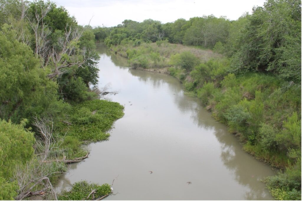
Río Nueces (Crédito de la foto: Autoridad del Río Nueces)
Aunque visitamos muchos ríos de Texas, rara vez visité el río San Antonio, salvo en viajes ocasionales al Riverwalk cuando venían de visita familiares de fuera de la ciudad. Mi primera exposición real al río San Antonio se produjo cuando llegué a la Autoridad del Río en 2016 como pasante en el Departamento de Ciencias Ambientales mientras estaba inscrito en la escuela de posgrado en la Universidad de Texas en San Antonio. En mis 18 meses como pasante, pude ver más del río San Antonio de lo que jamás había imaginado. Ayudé al equipo de biólogos acuáticos a realizar esfuerzos de monitoreo biológico y de calidad del agua de rutina en toda la cuenca del río. Éramos responsables de realizar el trabajo desde las cabeceras del río Medina en el condado de Medina hasta la confluencia con el río Guadalupe cerca de la costa del Golfo, a más de 200 millas de distancia. Antes de este trabajo, no había apreciado la diversidad de paisajes y vida silvestre que se encuentra dentro de la cuenca del río San Antonio. La cuenca abarca cuatro ecorregiones, desde la meseta Edwards en Hill Country hasta las llanuras costeras occidentales del Golfo cerca de la costa, y las comunidades de vida silvestre únicas en estos diversos paisajes.
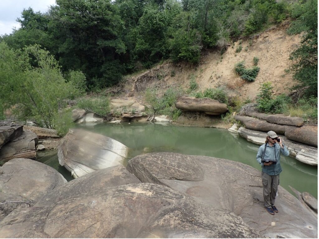
Davis realiza un estudio del hábitat a lo largo de Leon Creek (2017).
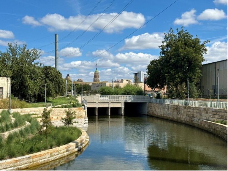
Como biólogo acuático sénior de la Autoridad del Río, he podido trabajar en una variedad de proyectos que buscan mejorar nuestros arroyos y ríos locales. He tenido la suerte de poder remar la mayor parte de las 240 millas del río San Antonio para comprender mejor nuestras comunidades nativas de mejillones de agua dulce. El mayor conocimiento de nuestros mejillones locales ha llevado a la Primera reintroducción de mejillones de agua dulce en Texas, que ayudó a reintegrar mejillones nativos en Mission Reach del río San Antonio el año pasado. Estos animales tienen importancia cultural y ecológica, y estoy orgulloso de poder trabajar para reintroducirlos en una sección restaurada del río donde antes prosperaban. Además, trabajo en el monitoreo de la restauración ecológica de varias áreas como el Alcance de la misión, Arroyos del lado oeste, y Presa de OtillaLos proyectos de monitoreo miden cómo responde el río a la restauración mediante el seguimiento de los cambios en la calidad del agua, las características del hábitat y los tipos de insectos y peces que se encuentran en los arroyos y ríos. Finalmente, mi trabajo en la Autoridad del Río incluye el monitoreo y la gestión de especies invasoras, a saber: Mejillones cebra y Caracoles gigantes de manzanaLos caracoles manzana gigantes están establecidos dentro del río San Antonio, pero los mejillones cebra no; sin embargo, nuestro equipo de biólogos acuáticos está monitoreando la presencia y actuando para eliminar las especies donde estén presentes.
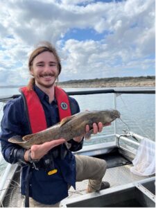
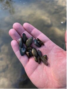
Izquierda: Davis recolecta bagres de cabeza plana para la reintroducción de mejillones de agua dulce (2024); estos peces son algunos de los peces hospedadores que son parte integral de la ciclo de vida del mejillón. Derecha: Davis sostiene un mejillón Pistolgrip juvenil con un dispositivo de seguimiento durante su reintroducción en Mission Reach (2024).
Tengo un profundo aprecio por nuestros arroyos y ríos locales, y he tenido el placer de vivir en varias partes de la ciudad, disfrutando de las comodidades naturales. He residido cerca del intermitente arroyo Leon, donde me encanta hacer caminatas y andar en bicicleta de montaña en los senderos verdes. También he vivido junto al tramo Eagleland del río San Antonio, haciendo caminatas diarias a lo largo de su tramo restaurado. Actualmente, vivo cerca del parque San Pedro Springs, donde disfruto del parque más antiguo de Texas y del Manantiales históricos que alimentan el arroyo San PedroMe enorgullece trabajar para mejorar nuestros ecosistemas locales, fomentar la participación de la comunidad con la naturaleza y apoyar la vida silvestre que los habita. ¡Únase a mí para preservar y celebrar estos espacios naturales vitales para las generaciones futuras!

El blog de hoy fue aportado por Austin Davis, biólogo acuático sénior de la Autoridad del RíoAustin tiene 9 años de experiencia en una variedad de disciplinas ambientales, incluidas la ecología terrestre y acuática, la higiene industrial y el cumplimiento de las normas ambientales. Austin se desempeña como gerente de proyecto para el Proyecto de reintroducción de mejillones de agua dulce de la Autoridad del Río y lidera un equipo de biólogos acuáticos que realizan monitoreos y estudios de rutina que involucran la calidad del agua, los macroinvertebrados bentónicos, los peces y los mejillones en toda la cuenca del río San Antonio.
La serie “My River POV” brinda a los lectores la oportunidad de conocer los conocimientos y las experiencias únicas del personal de la Autoridad del Río San Antonio (Autoridad del Río) y su conexión con el Río San Antonio con la esperanza de inspirar la administración de los arroyos y ríos del área.

