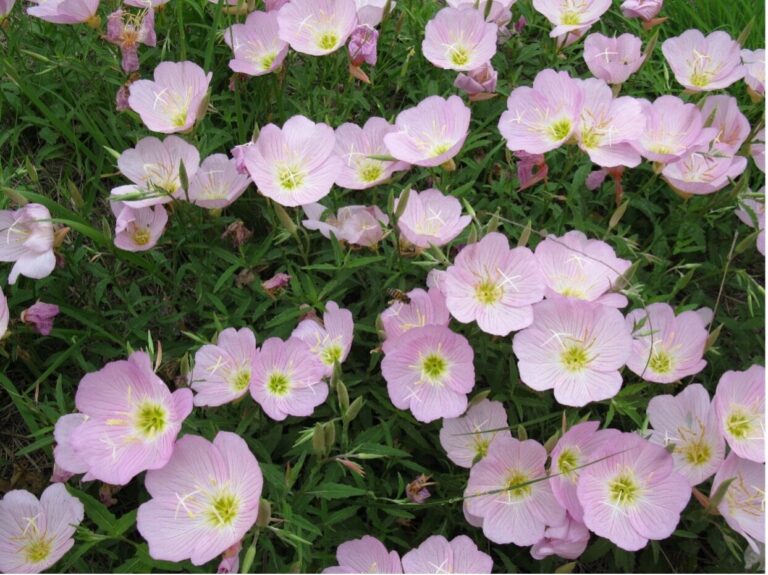
Como parte de nuestro compromiso con seguro, limpio, agradable arroyos y ríos, la Autoridad del Río San Antonio (Autoridad del Río) promueve activamente el uso de infraestructura verde, un grupo de prácticas de diseño que funcionan como espacios verdes y áreas naturales para frenar, detener y filtrar las aguas pluviales. El diseño e instalación de infraestructura verde ayuda reducir las inundaciones locales y mejora la calidad del agua.
La Autoridad del Río ha construido un Descripción general del impacto de la infraestructura verde tablero para ayudar a la comunidad a comprender los beneficios del uso de infraestructura verde para abordar la escorrentía de aguas pluviales. Siga leyendo mientras compartimos más información sobre las funciones del panel y por qué es importante tratar la escorrentía de aguas pluviales para proteger nuestros arroyos y ríos.
¿Por qué es importante tratar la escorrentía de aguas pluviales?
En el Cuenca del río San Antonio, a medida que se pavimentan y desarrollan más superficies naturales, menos agua de lluvia se filtra al suelo y, en cambio, pasa por superficies impermeables y llega a los desagües pluviales, recogiendo contaminantes y llevándolos directamente a arroyos y ríos. El agua de lluvia no tratada que va a los desagües pluviales y directamente a nuestros arroyos y ríos se conoce como escorrentía de aguas pluviales. En las superficies se acumulan contaminantes como aceite, grasa, metales, bacterias, sedimentos, fertilizantes, pesticidas, desechos de mascotas y contaminación térmica. Durante los eventos de lluvia, estos contaminantes se vierten directamente a los arroyos y ríos a medida que el escurrimiento de las aguas pluviales se transporta a través de la infraestructura tradicional de aguas pluviales. El escurrimiento durante los aguaceros fuertes también puede contribuir a las inundaciones de calles y vecindarios. Con el tiempo, las oleadas de escorrentía de aguas pluviales de áreas urbanizadas pueden erosionar las orillas de los arroyos y afectar negativamente los puentes y otras infraestructuras comunitarias.
Medición del impacto de la gestión de aguas pluviales
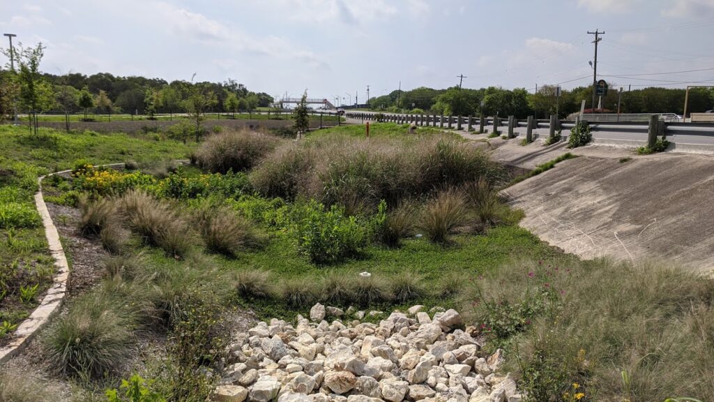
La relación entre la gestión de las aguas pluviales y los métodos de desarrollo sostenible a veces no es tan obvia. La misión de este panel es presentar el método de infraestructura verde (GI) para la gestión de aguas pluviales y cuantificar los resultados de las características IG conocidas y verificadas instaladas dentro de la cuenca del río San Antonio. Usando datos de nuestra Programa de reembolso Watershed Wise, cartera de subvenciones escolares de proyectos de infraestructura verde junto con información extraída de proyectos de modernización de infraestructura verde en nuestras instalaciones, un cálculo de los beneficios proporciona una idea más clara de las ventajas de cinco métodos de infraestructura verde.
El panel interactivo indica datos para los siguientes métodos comúnmente conocidos como mejores prácticas de gestión (BMP): bioretenciones, cisternas, pavimento permeable, bioswales y techos verdes. Al hacer clic en un BMP, el panel calculará automáticamente el resultado acumulativo del BMP específico de todos los sitios de proyectos conocidos y verificados. El panel de descripción general del impacto mide el volumen de aguas pluviales controlado, el total de sólidos suspendidos eliminados, el total de nitrógeno eliminado, la E. coli eliminada y el área impermeable tratada. Para la visualización, el panel proporciona ejemplos identificables para ayudar a definir la magnitud de estas mediciones, como piscinas olímpicas y campos de fútbol.
Lo invitamos a explorar este nuevo panel dinámico y esperamos que inspire a más personas a emplear estrategias de infraestructura verde que no solo mejorarán la gestión de las aguas pluviales, sino que también brindarán muchos otros beneficios ambientales, sociales y económicos, ¡todos dando como resultado arroyos y ríos más saludables!