Última actualización el 30 de enero de 2024
Tiempo estimado de lectura: 3,5 minutos
Esta serie brinda a los lectores la oportunidad de conocer las ideas y experiencias únicas de la Junta Directiva de la Autoridad del Río San Antonio (Autoridad del Río) y su conexión personal con el Río San Antonio con la esperanza de inspirar la administración de los arroyos y ríos del área.

Héctor Morales, general del condado de Bexar
Héctor Morales es originario de San Antonio, donde reside desde hace más de 60 años. Asistió a la escuela secundaria Holy Cross y recibió una licenciatura en educación ocupacional de la Universidad Estatal de Texas (como él la recuerda, la Universidad Estatal del Suroeste de Texas) en San Marcos. Morales se retiró del Servicio Civil después de 26 años de servicio y de la Guardia Nacional Aérea de Texas después de 29 años de servicio. Es un aficionado a las aves y le gusta trabajar con vidrieras, caminar, correr, hacer caminatas y acampar. Ha sido miembro de la junta de River Authority en representación del condado de Bexar en general desde 2005, y su mandato expira en 2023.
¿Qué valor aporta la Autoridad del Río San Antonio a la comunidad?
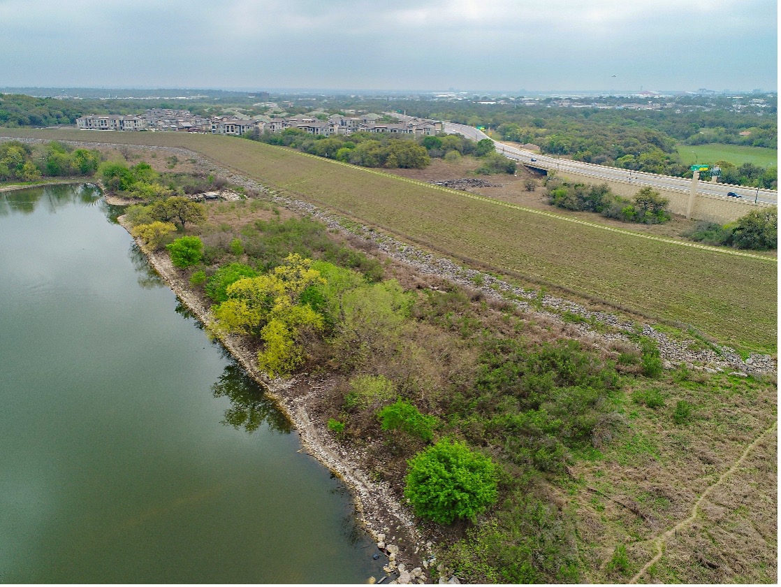
River Authority brinda servicios de excelente valor, no solo a San Antonio y el condado de Bexar, sino también a nuestros condados vecinos de Wilson, Karnes y Goliad. Estamos comprometidos a brindar al público seguro y limpio arroyos y ríos que son ambos agradable y utilizable. La River Authority ha sido patrocinador local del Cuerpo de Ingenieros del Ejército de EE. UU. (USACE) durante más de 65 años para brindar gestión de proyectos y experiencia técnica en estudios, proyectos y programas de mitigación de inundaciones, así como patrocinador local de Recursos Naturales. Servicio de Conservación en la construcción de 27 presas contra inundaciones en el condado de Bexar y 13 en el condado de Karnes. El Departamento de Ciencias Ambientales de la Autoridad del Río realiza monitoreo y evaluación de la calidad del agua para el Programa de Ríos Limpios (CRP) del Estado de Texas, que implica muestreos en sitios a lo largo del Cuenca de San Antonio. Estos son sólo algunos ejemplos de los muchos servicios que brinda la Autoridad del Río y que benefician no solo a los ciudadanos que viven en áreas urbanas a través de las cuales fluye el río San Antonio, sino también a aquellos directamente involucrados en sus orillas, ya sea a través de ganadería o agricultura.
La presa Walker Ranch, mantenida por la Autoridad del Río.
¿Cómo podemos garantizar que el río San Antonio se preserve para las generaciones futuras?
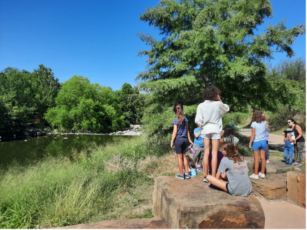
Para salvaguardar el futuro de nuestro río, debemos educar al público sobre la importancia de este precioso recurso de agua dulce. Tanto la Autoridad del Río Equipo de Educación y Compromiso y equipo de recreación Proporcionar oportunidades educativas valiosas e impactantes a estudiantes, maestros y el público en toda la cuenca con excursiones y oportunidades recreativas en los parques de River Authority. Estos programas ayudan a involucrar a los ciudadanos en el aprendizaje sobre la importancia crítica de los sistemas fluviales, los recursos de agua dulce, la ciencia de la calidad del agua y ecosistemas acuáticos. Debemos continuar contando con un sistema de comunicación autorizado que proporcione elementos de acción que los miembros de la comunidad puedan tomar para armonizar el bienestar del río, el medio ambiente y la comunidad.
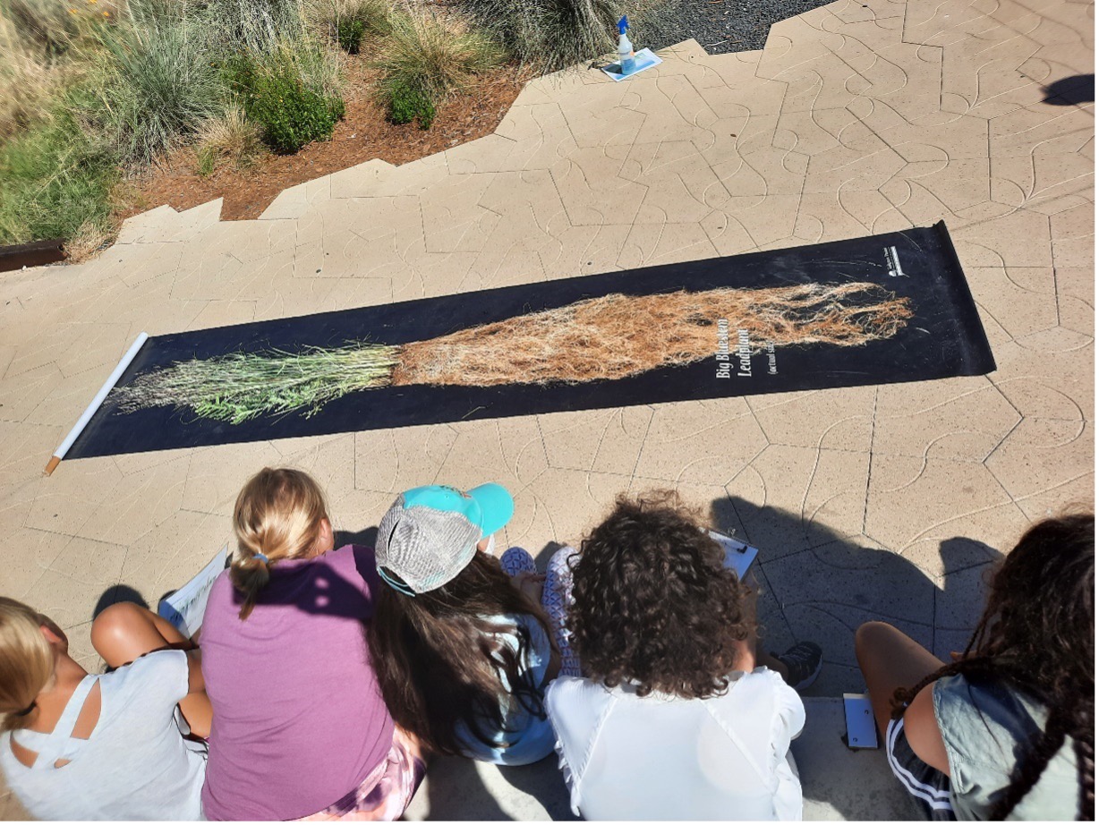
Los Junior Master Naturalists aprendieron sobre la conexión entre las plantas nativas y la buena calidad del agua en una excursión de River Authority en junio.
¿Cuál es la mejor manera de interactuar con el río San Antonio?
La mejor manera de interactuar con el Río San Antonio es que el público sea consciente de su existencia y se sienta orgulloso de cuidar este recurso de agua dulce que ha jugado un papel crucial en la historia y cultura de esta zona. La River Authority opera y mantiene 715 acres de parques naturales y 44,6 millas de senderos para remar en el río San Antonio, brindando al público muchas formas de conocer el río. Como organización, debemos continuar manteniendo un programa de gestión fluvial bien definido, como el Programa de voluntariado River Warrior.
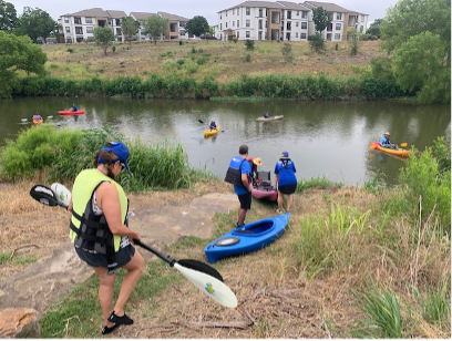

Izquierda: El recién formado equipo de remeros River Warrior ayuda a retirar la basura del río San Antonio. Derecha: La batalla de la carrera de kayak con remo de 2022
Nombra un hecho interesante sobre la cuenca del río San Antonio que la mayoría de la gente tal vez no conozca.
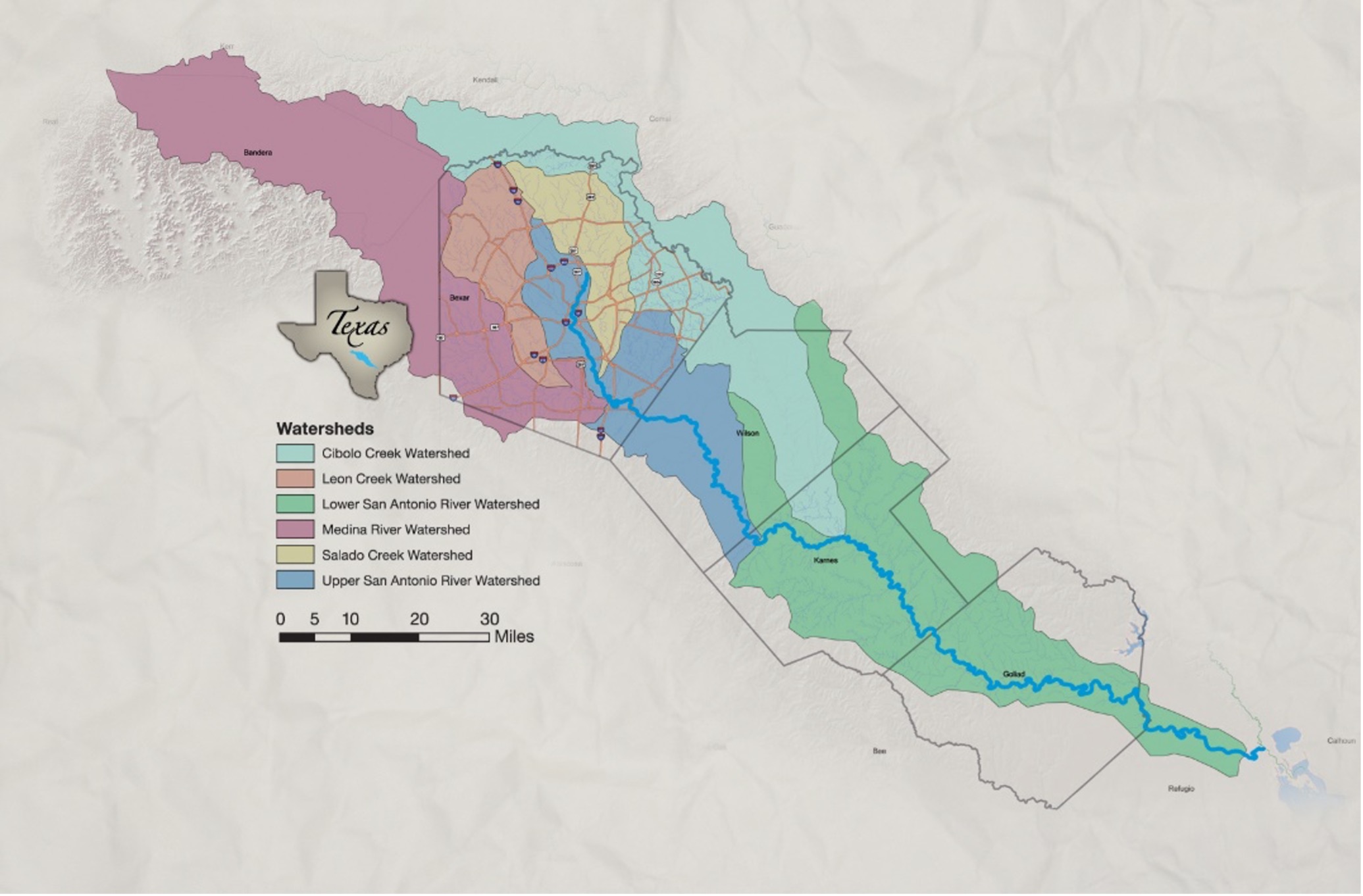
Un hecho sobre la cuenca del río San Antonio que la mayoría de la gente quizás no sepa es que es una de las 23 cuencas principales de Texas y drena una superficie de 4,180 millas cuadradas. El río San Antonio transporta agua superficial desde elevaciones de 2,500 pies dentro de Texas Hill Country de los condados de Bandera y Kerr hasta elevaciones de menos de 100 pies en el condado de Refugio.
Además, es posible que no supieras que los exploradores españoles nombraron el río homónimo de la cuenca en honor a San Antonio de Padua o “San Antonio de Padua”. El 13 de junio de 1691, fiesta de San Antonio de Padua, el primer gobernador de la Texas española, Domingo Terán de Los Ríos, acampó en el río durante una expedición y le cambió el nombre para celebrar la fiesta.
¡El alcance del río ha vuelto!
Alcance del río es un boletín trimestral de 12 páginas diseñado para informar a los electores de la Autoridad del Río San Antonio sobre los numerosos proyectos de la agencia, servir como vehículo de comunicación para la junta directiva y fomentar un sentido de unidad e identidad entre los residentes de Bexar, Wilson. , Karnes y Goliad.
Si desea ser incluido en la lista de correo de Alcance del río, por favor Contáctenos o Complete el formulario.