El Cuenca del río San Antonio Está formado por una compleja disposición de arroyos y ríos y sus correspondientes cuencas. La Autoridad del Río San Antonio (Autoridad del Río) desarrolló el Informe de la Cuenca del Río San Antonio en 2020 a partir del impulso de la agencia para armonizar las necesidades de las personas y la naturaleza a través de nuestra administración de los ríos y la tierra. El objetivo principal del Informe de la Cuenca del Río San Antonio es arrojar luz sobre los aspectos saludables y no saludables de la cuenca para educar al público y servir como catalizador para debates comunitarios que conduzcan a elecciones individuales y decisiones, acciones y políticas públicas. e inversiones que apoyen una cuenca sostenible del río San Antonio.
El Boleta de calificaciones de la cuenca del río San Antonio 2021 se publicó el último fin de semana de septiembre para corresponder con el Día Mundial de los Ríos. La calificación general del Boletín de Calificaciones de la Cuenca del Río San Antonio de 2021 es una “B”, que es la misma que el año pasado. Esta calificación es el promedio de doce calificaciones de indicadores individuales. Con cada informe anual de la cuenca, las calificaciones de los indicadores mostrarán tendencias que demostrarán claramente dónde se están logrando avances y dónde aún se necesitan mejoras. Cada mes, destacaremos un indicador específico y su calificación para ayudar a brindar información y compartir cómo puede ayudar uniéndose a nosotros en nuestros esfuerzos para mejorar la salud de los arroyos y ríos del área.
Aspectos destacados del boletín de calificaciones de la cuenca 2021: uso del parque
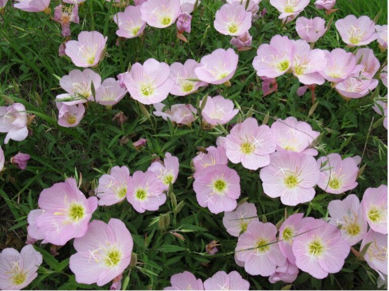
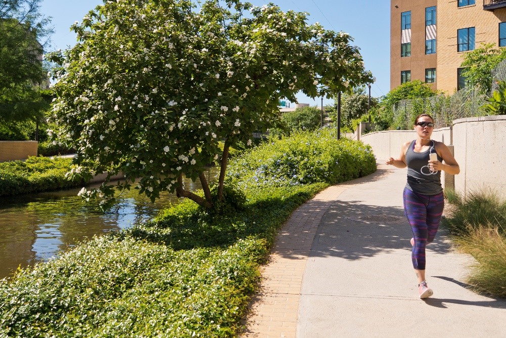
Durante la última década, la Autoridad del Río ha agregado actividades recreativas basadas en la naturaleza en toda la cuenca, incluidos senderos para caminar y andar en bicicleta, senderos para remar, áreas para picnic y campamentos, áreas de juegos infantiles, pesca, observación de aves e incluso campos de disc golf. Estos recursos recreativos fluviales han atraído a miles de usuarios para disfrutar de la belleza y el disfrute de la naturaleza.
Para el Boleta de calificaciones de la cuenca del río San Antonio 2021, la calificación para uso del parque fue una "A+". Esta calificación se calculó utilizando el uso total del parque para este año fiscal (1 de julio de 2020 – 30 de junio de 2021) y dividiendo ese número por los datos de uso del parque de años fiscales anteriores, luego multiplíquelo por 100 para obtener el puntaje final. Todos los puntajes de parques individuales relacionados con el uso de parques operados y mantenidos por la Autoridad del Río se promedian juntos para un grado y se crea un segundo grado para todos los puntajes de parques individuales relacionados con el uso de parques ubicados a lo largo de arroyos y ríos a lo largo de la cuenca que son operados y mantenidos por otros gobiernos o entidades. Luego, estas dos calificaciones se promedian para determinar la calificación general final para esta métrica. Esencialmente, esta calificación es un análisis de tendencia para el uso del parque con el supuesto básico de que mantener o aumentar la cantidad de uso del parque es positivo (es decir, obtendrá una calificación más alta) y una cantidad decreciente de uso del parque es negativa (es decir, obtendrá una calificación más alta). un grado inferior).
El uso de parques volvió a aumentar durante el año fiscal 2020-21 en comparación con los datos de uso de parques de años fiscales anteriores. Se cree que la actual pandemia de COVID-19 ha afectado una vez más las cifras de uso del parque, ya que los ciudadanos siguen ansiosos por salir y utilizar los recursos naturales y culturales del parque en toda la cuenca del río San Antonio. En general, los datos muestran un crecimiento en el uso de parques tanto para los parques River Authority como para los que no pertenecen a River Authority ya que, en conjunto, se registraron más de 243,000 usuarios de parques por encima de la cifra de uso total de parques del año fiscal pasado. De los 16 puntajes de uso de parques individuales, 11 registraron un aumento en el uso con respecto a años fiscales anteriores y 5 registraron una disminución.
¿Cómo puedo involucrarme?
La Autoridad del Río San Antonio lo invita a visitar y disfrutar los más de 500 acres de parques, que incluyen más de 28 millas de senderos para caminar y andar en bicicleta, y más de 60 millas de senderos para remar a lo largo del curso de 240 millas del río San Antonio. Nuestro dedicado personal de eventos y programación de parques es responsable de crear oportunidades únicas y atractivas para que nuestros electores puedan disfrutar de manera segura de nuestros parques y senderos y forjar conexiones significativas con nuestros arroyos y ríos. Te invitamos a visitar nuestro página de eventos para mantenerte actualizado con la información más reciente y únete a la diversión.
Otra forma de involucrarse es hacer su parte para proteger y preservar los arroyos y ríos de nuestra área. Tú puedes ayudar a detener la propagación de especies invasivas como los caracoles Apple al no arrojar su pecera en los cursos de agua del área. Para abordar de manera proactiva las amenazas a los arroyos y ríos por la basura, la basura flotante y los vertidos ilegales en toda la cuenca del río San Antonio, la Autoridad del Río lanzó recientemente una nueva iniciativa de divulgación pública relacionada con la basura. El público puede visitar el Museo de la Autoridad del Río. página web de la iniciativa de basura Para asumir nuestro compromiso "No dejes que la basura ensucie tu río", aprende cómo participar usando la aplicación Litterati, ayuda a apoyar la iniciativa usando el kit de herramientas de redes sociales y obtén recursos para personas y organizaciones comunitarias que deseen Convertirse en un Guerrero del río Ofrézcase como voluntario u organice eventos de limpieza para ayudar con nuestros esfuerzos.
Juntos podemos lograr y mantener buenas calificaciones en el año Boletín de calificaciones de la cuenca del río San Antonio centrando la atención colectiva de nuestra comunidad en mejorar las áreas que tienen una puntuación baja. Lo invitamos a ver la boleta de calificaciones completa y aprender más sobre los indicadores, ¡incluido lo que puede hacer para ayudar a mejorar la calificación general del próximo año!