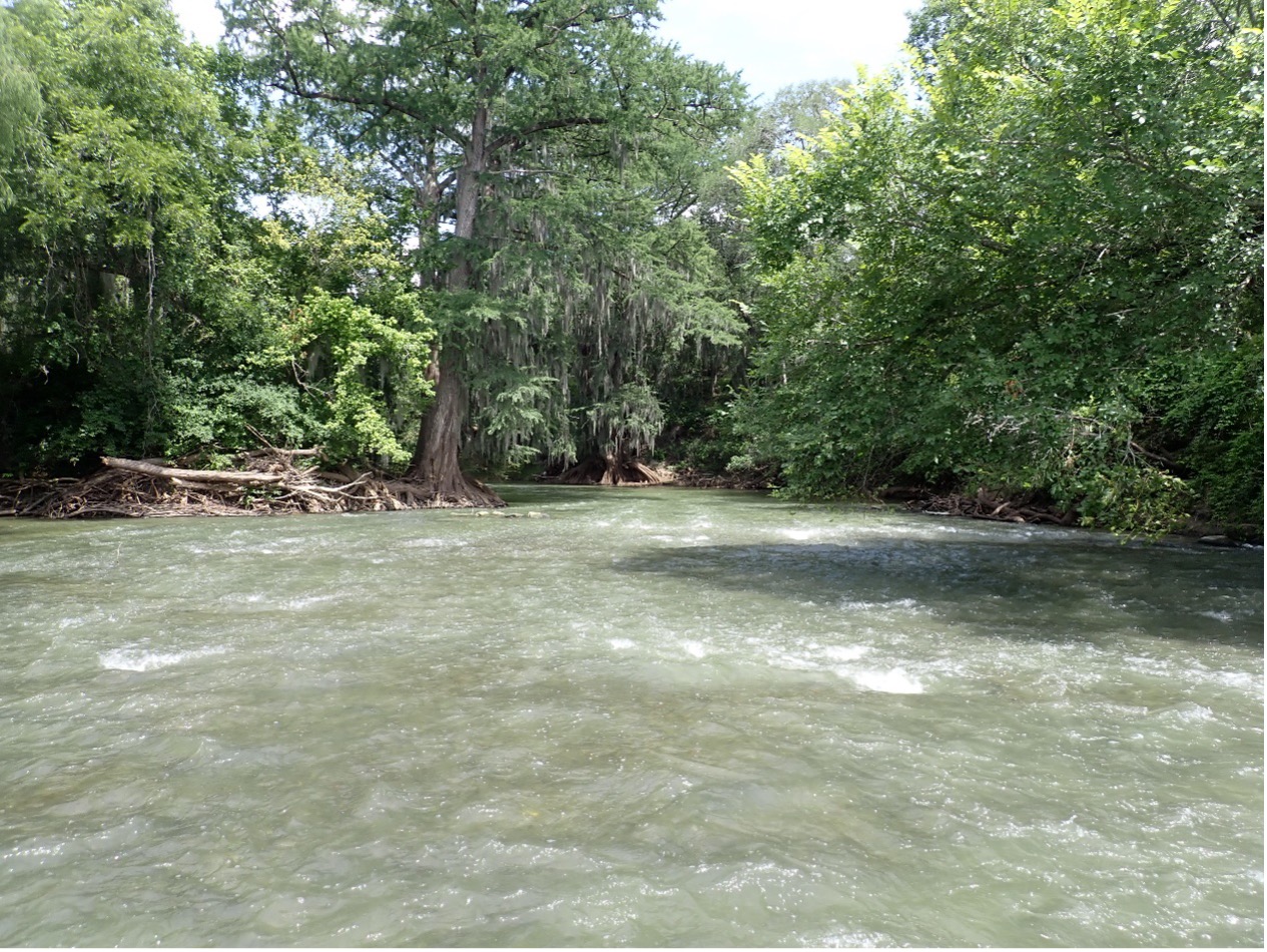
The Medina River at County Road 484 is one of the many sites where River Authority aquatic biologists collect habitat data (SARA Site 14200 on the below map).
Welcome to the San Antonio River Authority’s (River Authority) Basin Report Card series!
The San Antonio River Basin Report Card is an annual assessment of twelve indicators that shine a light on the healthy aspects of the San Antonio River Basin and those that may need improvement. Each month we will highlight a specific indicator and its grade for the 2021 Report Card. Follow along to read how you can help improve the health of area creeks and rivers.
This month we’re looking at a critical indicator related to the clean aspect of the River Authority’s mission: the habitat quality index (HQI) of our creeks and rivers in the San Antonio River Watershed.
What is the HQI?
The Habitat Quality Index (HQI) is used by our Environmental Sciences Department (ESD) staff to help determine the health of the instream and riparian communities in the San Antonio River watershed. ESD field staff travel to many locations throughout the basin twice a year to gather valuable data on the quality of aquatic and riparian habitats (HQI) and the organisms that live there.
Field data collected by River Authority biologists for the HQI includes
- available instream cover (boulders or objects in the river that fish can use to hide behind and escape predators OR play their favorite game of fishy hide-and-seek)
- the number of riffles (shallow places in the river where water flows quickly past rocks; more riffles=more oxygen! Ahh!)
- channel sinuosity (the number of bends or curves in a river/stream channel; a bendy river means more frequent and deeper pools of water, which make fish and other aquatic organisms super happy)
- riparian buffer vegetation (trees and other plants next to the river that help keep banks stable and filter water with their roots)
And those are only a few of the metrics that the ESD team collects data for.
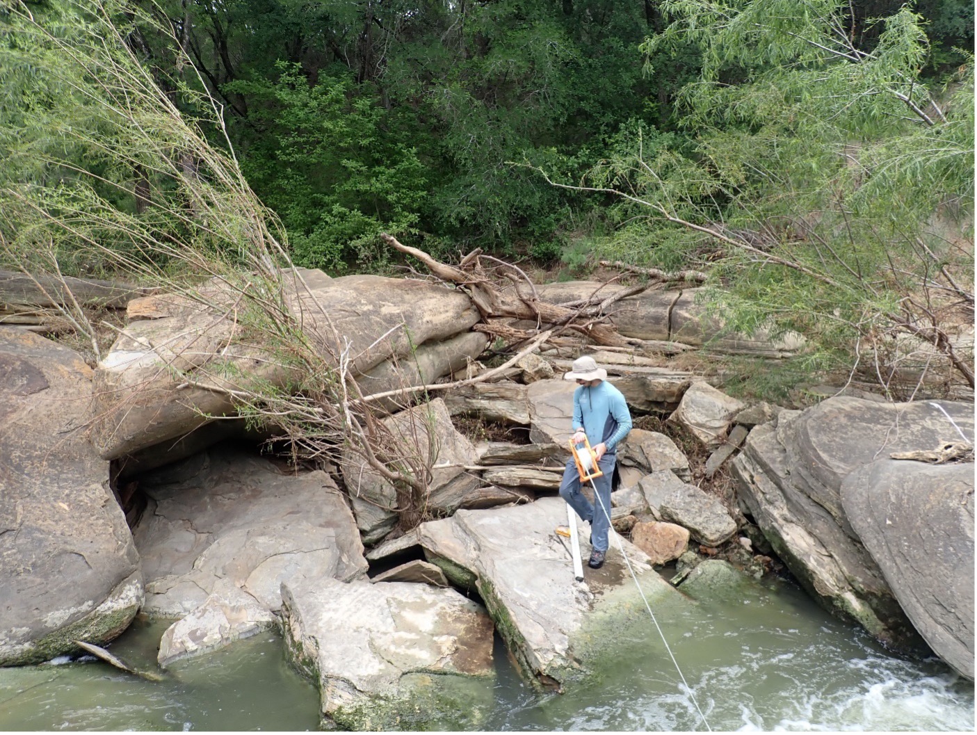
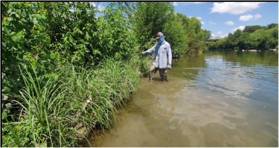
ESD team member Austin Davis collects data at Leon Creek (Site 14198).
The quantifiable, reproducible data collected from these HQI surveys is then reported to the Texas Commission on Environmental Quality (TCEQ). Interpreting the HQI results provides a valuable understanding of the health of aquatic and riparian communities. Therefore, River Authority scientists are constantly monitoring the San Antonio River Basin habitats to determine the current HQI.
The San Antonio River at Conquista Crossing (Upper San Antonio River Watershed) is one of the sites where ESD biologists conduct field surveys (SARA Site 16580 on the map below).
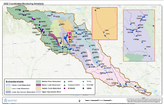
A comprehensive map of the field sites where our ESD team collects data on HQI, among many other data sets. Field sites are determined based on their unique geologic and hydrologic attributes.
How did the San Antonio River Basin do for 2021?
2021 Habitat Quality Index Grade = B
This grade is based on 14 out of 20 sites in our watershed meeting the standard for healthy habitats capable of sustaining aquatic life in 2021. The grade indicates that the San Antonio River Basin has a relatively high potential for aquatic and riparian life and a relatively high potential for maintaining biodiversity and species richness.
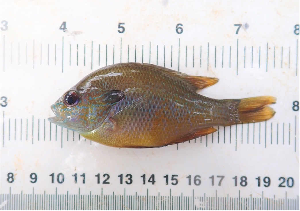
A native species- the Longear Sunfish (Lepomis megalotis) – was identified by River Authority aquatic biologists during surveys conducted in 2021.
For more information on how we calculated this rating for 2021, see the full Basin Report Card.
What is the River Authority doing to help improve this grade?
The HQI score indicates that improvements can still be made to further enhance the basin’s potential to support more richly diverse and healthy aquatic and riparian populations. The primary way that the River Authority continues to work towards more beneficial habitats in the San Antonio River Watershed is through its ongoing stream and habitat restoration projects.
One example is the Mission Reach Ecosystem Restoration, which transformed 8 miles of the San Antonio River into a thriving ecosystem. The restored river provides a habitat throughout the year for a wide variety of residential and migratory species, especially for many different types of birds. The recently completed 2021 Mission Reach Intensive Nekton Survey (MRINS) has also yielded some significant findings on the effectiveness of this ecological restoration.
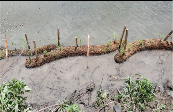
One of the techniques used to increase aquatic plant growth and improve habitat quality is coir logs (pictured here). These large and interwoven plant masses have successfully stabilized riverbanks during flooding events.
Robust plant growth has been observed on coir logs installed in the Mission Reach of the San Antonio River.
Another example is the Westside Creeks Ecosystem Restoration Project (Westside Creeks) which recently received the full federal share of project funding through the U.S. Army Corps of Engineers (USACE) Infrastructure Investment and Jobs Act Work Plan (Work Plan). The Westside Creeks will transform 11 miles of Alazán, Apache, Martinez, and San Pedro creeks by restoring the aquatic ecosystems with native grasses, wildflowers, and trees. The project will also reconstruct the creeks into more natural channels while maintaining the present level of flood mitigation protection.
What can I do to help improve our rating?
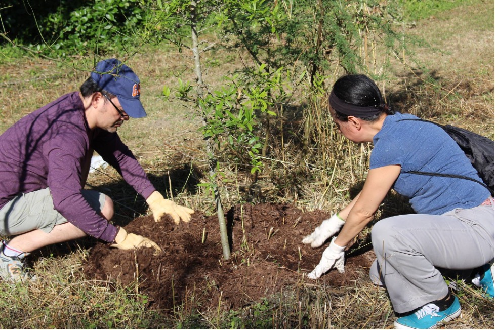
When possible, plant native vegetation at your home and business and promote the use of native vegetation throughout your community. Native plants’ long root systems hold soil in place and aid in improving water quality by filtering out stormwater runoff before it enters the river. Native plants also provide food and habitat for native wildlife, leading to increased wildlife in the area.
Reduce bacteria and other pollutants by implementing and supporting green infrastructure, which are types of multi-benefit best management practices that help reduce flooding and improve water quality in area creeks and rivers.
View the Full Report Card for info on more ways you can help. Together, we can achieve and maintain good grades in the annual San Antonio River Basin Report Card. See you next month for our score on swimming in the San Antonio River!