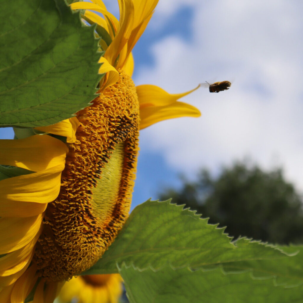
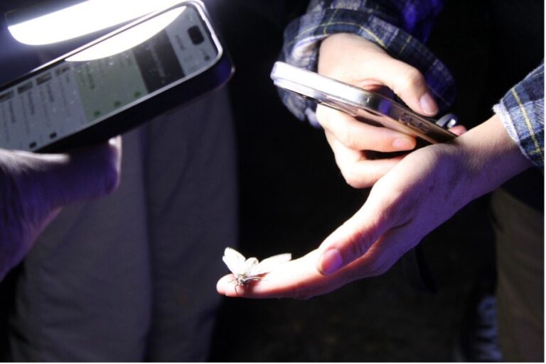
San Antonio River Authority

Experience the beauty of the San Antonio River Basin! As spring awakens, native plants bloom in vibrant colors, pollinators buzz with energy, and wildlife thrives in action. Capture these magical moments and showcase the natural wonders around you by entering the 8th Annual River Clicks Photo Contest!

Bee and Sunflower Square

About Us

What does the San Antonio River Authority do?

Funded by property taxes, the River Authority upholds a commitment to “providing safe, clean and enjoyable creeks and rivers,” which in its 83 years has led to a multitude of partnerships, research initiatives, and projects that integrate public health with ecosystems and sustainability with economic development.

Hiking, Biking, Paddling & River Recreation

Parks & Trails

There is an emerald heart in South Texas that beats to a rhythm of exploration, tranquility and adventure. Your San Antonio River has that pulse, and the San Antonio River Authority is inviting you to discover every facet of this gem’s green spaces, flowing waters and cultural heritage.

Play Video about kayaking through bexar county

Virtual Tour

San Antonio to Seadrift - Kayak Through Bexar County

Learn About The San Antonio River

Serving Bexar, Wilson, Karnes and Goliad Counties

Learn more about preserving, protecting and experiencing our river. Explore our website for a deeper dive into the bounty of natural, recreational, cultural and family opportunities waiting for you along the 240-mile course of the San Antonio River.

Square Mile Jurisdiction
0
Dams Operated & Maintained
0
Average Annual Tax
$ 0
Acres of Parks
0

Events Calendar

April 16, 2025

9:00am

Alerts

Trail Closure: Museum Reach at Pearl

* Trail temporarily closed from 2/3/2025 until 4/25/2025. * For southbound pedestrian traffic, please exit the river and utilize the Hotel Emma bridge to gain access to the east side river trail. Access to the east side river trail via the elevator or stairs. * For northbound pedestrian traffic, please exit the river trail at the south bridge to gain access to the east side river trail. Continue north through Pearl towards Hotel Emma. The west & east side river trail accessible via the Hotel Emma bridge. North Bridge West Landing & Stairs Trail Closure Map  

Goliad Paddling Trail Alert

NOTICE: HWY 59 Landing Site Closed Due to TxDOT construction on the HWY 59 Bridge, the HWY 59 landing site is closed until further notice. However, the Goliad Paddling Trail remains open, and paddlers can still access the river at the Riverdale, Ferry Street, and Goliad State Park landings. Please plan accordingly and check back for updates.

SASPAMCO Paddling Trail Temporarily Closed

Staff have removed two large log jams just downstream of Helton Nature Park, keeping the southern portion of the SASPAMCO Paddling Trail temporarily closed. Staff are working to contact adjacent landowners to support a land-based removal solution.

SASPAMCO Paddling Trail

The SASPAMCO paddling trail is open from River Crossing Park to Helton Nature Park. *Please Note: Paddling Trail from Helton Nature Park to HWY 97 is still closed due to blockages. 

River Reach Newsletter and Blog Signup

River Reach is offered as a printed, physical mailing to your residence or business. The Blog is a weekly electronic email with news and updates in order to be more environmentally conscious. Please fill out the form below and indicate your preferred method of delivery.

By submitting this form, you are consenting to receive marketing materials from: San Antonio River Authority, 100 East Guenther St., San Antonio, TX, 78204, US. You can revoke your consent to receive emails at any time by using the SafeUnsubscribe® link, found at the bottom of every email. Emails are serviced by Constant Contact. This site is protected by reCAPTCHA and the Google Privacy Policy and Terms of Service apply.